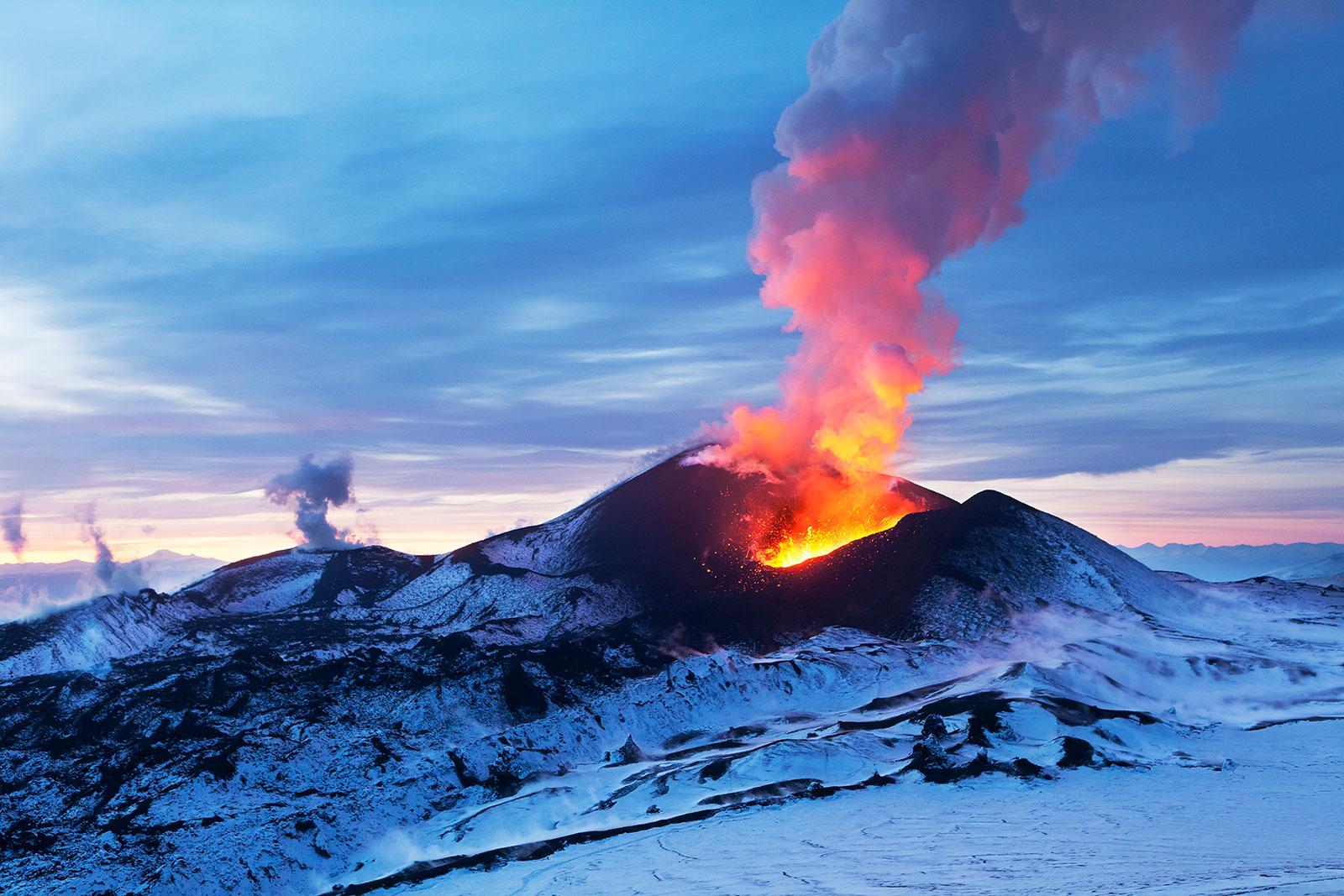
GeoCode: Volcanic Hazards
The Volcanic Hazards Module engages students in an authentic geoscience problem: investigating the hazards and risk of tephra (ash) fallout from the Cerro Negro volcano in Nicaragua. To do this, students integrate science practices with computational thinking to produce simulation outputs of tephra distribution and future risks for specific locations. Using the GeoCoder model, students investigate the effects of wind speed, wind direction, and VEI on tephra distribution. They filter and sort 16,000 wind data points measured from around Cerro Negro to find trends in wind speed and direction that yields important information about the risk tephra poses to the surrounding region. Finally, students harness the power of a Monte Carlo simulation to make predictions about the tephra fallout of future eruptions.
Registered teachers gain access to the Teacher Edition, with supplemental background materials, teacher tips, and exemplar answers, as well as the Class Dashboard. Log in now!

Teacher Resources
Introduction to Exploring Volcanic Hazard Impacts and Predicting Risks
A summary of the overall rationale, approach, and content within the module.
Teaching with Online Materials
Information about using computer-based curricula.
Student Learning Goals for Exploring Volcanic Hazard Impacts and Predicting Risks
A reference for the scientific ideas, computational concepts, and student learning goals.
Standards Alignment for Exploring Volcanic Hazard Impacts and Predicting Risks
NGSS and CS alignments
Code Cheatsheet
A quick-glance guide of exemplar code for each GeoCoder interactive.
Volcanic Hazards Video Introduction
A volcanologist's explanation of volcanic hazards and tephra modeling.
Ready to get started? Learn how to Set up a Class and Assign Materials.
Activities
Assessments
Partners


